Aerial Images

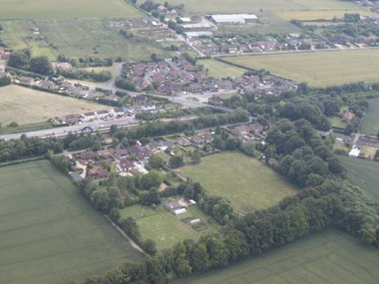
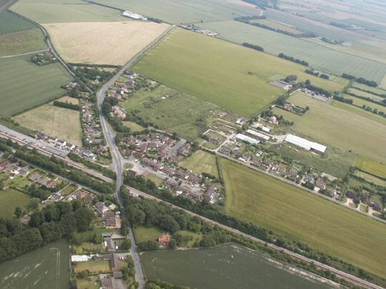
Campbell and Locke closes. In this picture the two closes may be seen along with the station and the road that leads to Over Wallop.

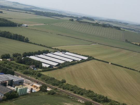
Chicken Farm off Station Road between the two parts of Grateley Village. The six large chicken sheds along station road are in the centre of this picture. C.A. Stevens yard can be seen in the left corner while Quarley hill is in the background.

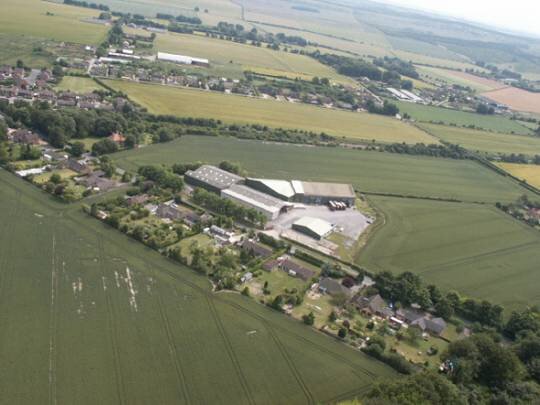
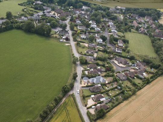
Cholderton Road with it’s predominance of bungalow dwellings adjacent to the view of Grateley Business Park.

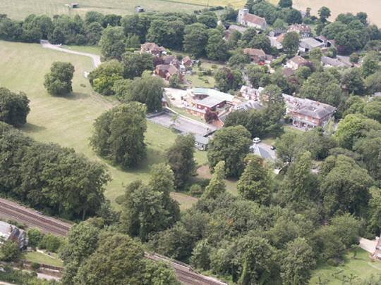
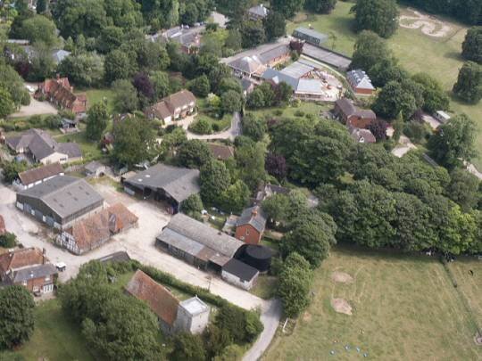
The house and grounds of Grateley House School with St. Leonard’s Church in the background.

A view of Grateley station in the foreground with the railway moving out of the top of the picture to the West. Palestine can be seen to the left of the picture.

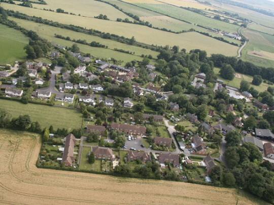
A view of Grateley village with Lawrence Houses in the foreground and Hawthorne Close beyond it.

A view of Manor Farm and St. Leonard’s Church with Grateley House School in the background.

Looking towards the old part of Grateley village along Monxton Road.

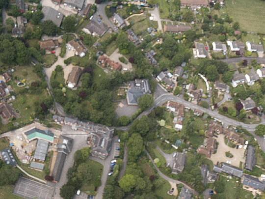
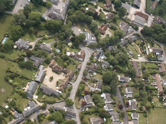
Slightly blurred, but a panoramic view of the centre of the old village.

Another view looking down at the Plough Inn, Chapel Lane and towards Grateley Primary School

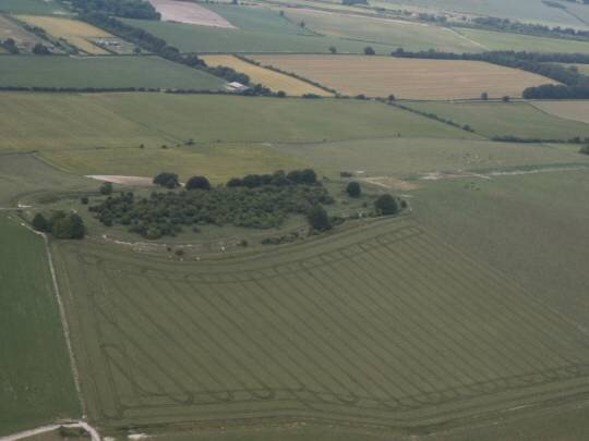
Looking North at Quarley Hill.

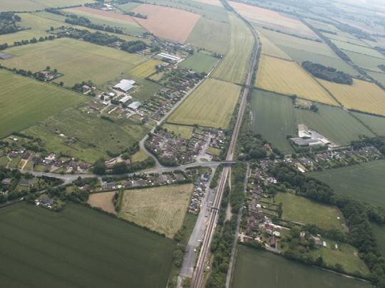
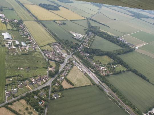
Looking west along Old Stockbridge Road to Wallop Road with Campbell Close & Lock Close beyond and Grateley Station to the right.

Looking into the back gardens of the houses along Station Road